Revolutionizing Land Surveying: What are the Advantages of Drone Survey in India?
Drones have rapidly gained popularity and become a game-changer in various industries, including land surveying. In India, the utilization of drone technology has been on the rise, revolutionizing traditional surveying methods. This blog post aims to explore the advantages of drone survey in India, shedding light on their enhanced precision, increased efficiency, enhanced safety, and environmental preservation.
Overview of the Drone Technology in India
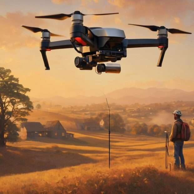
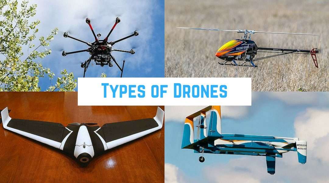
India has witnessed a significant surge in the use of drones across different sectors. The government’s liberal policies and regulations have contributed to the widespread adoption of this technology. Drones, also known as unmanned aerial vehicles (UAVs), are remotely controlled or autonomously operated aerial devices equipped with high-resolution cameras and sensors.
Emergence and Significance of Drone Surveying
Drone surveying has emerged as a breakthrough technique in the field of land surveying. The ability of drones to capture accurate and high-resolution imagery from above has revolutionized the way land surveys are conducted. This modern approach offers numerous advantages over traditional surveying methods, making it a vital tool for professionals across industries such as construction, agriculture, urban planning, and environmental management.
Current Applications of Drone Surveying in India
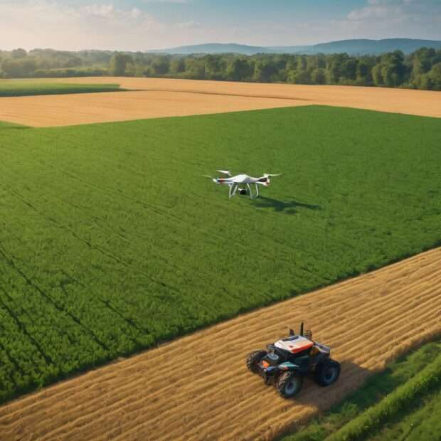
Drone surveying has found diverse applications in India. Urban planners utilize drones to assess land use patterns, monitor infrastructure development, and analyze potential areas for urban expansion. Farmers employ drones for crop monitoring, irrigation management, and yield estimation. The construction industry has also embraced drone surveying for site inspections, progress monitoring, and 3D modeling. These examples highlight the immense potential of drones in transforming the Indian surveying landscape.
Enhanced Precision and Accuracy in Land Surveying
Drone surveying brings unprecedented levels of precision and accuracy to land surveys, enabling more reliable and detailed data collection.
Drone Surveying for Precise Topographical Data
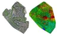
By capturing aerial data with high-resolution cameras and LiDAR sensors, drones offer an efficient means to acquire accurate topographical information. They can create detailed digital terrain models (DTMs) and surface models, enabling precise contour mapping, elevation measurement, and volumetric analysis. This level of precision is crucial for various sectors, including infrastructure development, flood management, and urban planning.
Improved Accuracy in Boundary Mapping and Demarcation
Drones equipped with advanced mapping software enable surveyors to accurately map and demarcate property boundaries. By capturing detailed imagery, surveys can be conducted with greater precision. This eliminates potential disputes arising from inaccurately marked or ambiguous boundaries, saving both time and financial resources.
Efficient Contour Mapping and Elevation Measurement
Traditional contour mapping and elevation measurement can be time-consuming and labor-intensive. Drone surveying streamlines these processes, providing accurate and up-to-date contour maps and elevation data. This information is invaluable in slope analysis, cut and fill calculations for construction projects, and monitoring land erosion.
Increased Efficiency and Cost-effectiveness with Drone Survey
Drone surveying offers improved efficiency and cost-effectiveness compared to traditional surveying methods, thanks to rapid data collection and streamlined analysis.
Rapid Data Collection and Processing with Drones
Drones can swiftly cover large areas, capturing imagery or LiDAR data that would otherwise require extensive time and manpower using traditional methods. The data collected can be processed rapidly using specialized software, providing near-real-time results. This expedites decision-making processes, leading to faster project completion and reduced costs.
Streamlined Terrain Analysis and Inspection
Analyzing complex terrains and inspecting hard-to-reach areas is simplified with drone surveying. Drones equipped with obstacle avoidance technology and GPS waypoints can navigate challenging landscapes effortlessly. They can collect data from various angles, providing comprehensive insights into the condition of the land, infrastructure, or assets being surveyed.
Reduction in Overall Surveying Time and Costs
With traditional surveying methods, surveyors often encounter logistical challenges and encounter significant delays. Drone surveying minimizes these hurdles and reduces the overall time required for data collection. By cutting down on travel time and eliminating the need for extensive ground-based surveys, costs associated with manpower, equipment, and transportation are significantly reduced.
Enhanced Safety and Accessibility in Surveying
Drone surveying prioritizes safety, eliminating risks associated with traditional land surveying and improving access to remote or hazardous terrains.
Eliminating Risks Associated with Traditional Land Surveying
Traditional land surveying often involves working in dangerous environments, such as construction sites or areas prone to natural disasters. Drone surveying eliminates the need for surveyors to physically traverse these risky areas, ensuring their safety. By surveying from a distance, drones also mitigate potential accidents and injuries.
Accessibility to Remote and Difficult Terrains
In India, where certain areas are inaccessible or challenging to survey due to geographical constraints, drones provide a breakthrough solution. They can reach places that are otherwise difficult to access, including mountainous regions, dense forests, or remote islands. This accessibility ensures that no land goes unexplored or underserved by efficient surveying practices.
Minimizing Endangerment to Surveyors During Hazardous Surveying Tasks
Certain surveying tasks, such as inspecting tall structures or assessing unstable slopes, pose risks to human surveyors. Drones allow for safer and more efficient data collection in these scenarios. By deploying drones to capture imagery and collect data, the chances of accidents and injuries to surveyors are minimized, ensuring the well-being of professionals working in the field.
Environmental Preservation and Sustainable Surveying
Drone surveying plays a vital role in environmental preservation and promotes sustainable land management practices in India.
Minimizing Land Disruption and Environmental Damage
Traditional land surveying methods often disrupt natural landscapes, such as clearing vegetation or altering terrain. Drone surveying minimizes this disruption by capturing data from above, avoiding unnecessary disturbance to the land. This preservation of natural surroundings is particularly crucial for environmentally sensitive areas, such as wildlife sanctuaries or protected zones.
Conservation of Natural Resources through Drone Surveying
Accurate data collected through drone surveying supports the conservation and sustainable use of natural resources. By understanding the terrain, mapping water bodies, and monitoring vegetation patterns, resource management becomes more effective. It allows authorities to make informed decisions regarding forest management, water resource planning, and ecological preservation.
Promoting Sustainable Land Management Practices
The availability of precise and up-to-date land data obtained through drone surveying enables the implementation of sustainable land management practices. This includes optimal land-use planning, efficient urban expansion, and responsible infrastructure development. By integrating sustainability principles into land surveying processes, a greener and more eco-friendly future can be realized.
Summary
Drone surveying has the potential to revolutionize land surveying practices in India. Through enhanced precision, increased efficiency, improved safety, and environmental preservation, this technology offers a multitude of advantages over traditional surveying methods. As the utilization of drones in India continues to grow, it is clear that the future of land surveying is taking flight.
Frequently Asked Questions (FAQs)
- What is drone surveying, and how does it differ from traditional surveying methods?
* Drone surveying involves using unmanned aerial vehicles equipped with cameras and sensors to capture high-resolution imagery and data for land surveys. Compared to traditional surveying methods, it offers increased efficiency, enhanced precision, and improved safety.
- Is drone survey legally permissible in India?
* Yes, drone survey is legally permissible in India. The government has introduced relaxed regulations and policies, allowing professionals to incorporate drones into their surveying practices, subject to compliance with certain guidelines.
- How does drone surveying ensure accuracy and precision in land surveying?
* Drones utilize advanced imaging sensors and software to capture highly accurate and detailed imagery of the land. This data is then processed using specialized software, enabling precise measurements, contour mapping, and elevation analysis.
- What are the limitations or challenges faced in implementing drone surveying in India?
* Some challenges of implementing drone surveying in India include regulatory compliance, limited professional expertise, and weather constraints. Additionally, factors like battery life, airspace restrictions, and data processing can present logistical hurdles.
- Will drone surveying replace traditional land surveying completely?
* While drone surveying offers numerous advantages, it is unlikely to completely replace traditional land surveying methods. Both approaches have their strengths and limitations, and the optimal choice depends on the specific requirements of each project. Drone surveying complements traditional methods, enhancing the efficiency and accuracy of land surveys.
