AGRICULTURAL TECHNOLOGY
AGRICULTURAL TECHNOLOGY
India is an agricultural country. Agriculture and its allied activities act as main source of livelihood for more than 80% population of rural India. Today Agricultural production depends on how much Agricultural Technologies are implementing aircrafts such as Drone/UAV (Unmannned Aerial Vehicle) and techniques such as Multispectral photogrammerty and Remote sensing have great potential to analyze the NDVI (Normalized Difference Vegetation Index, the Near-Infrared Spectroscopy(NIRS) and the Digital Elevation Model(DEM) applied in the agriculture framework to collect information on the vegetative state of the crop, soil and plant moisture, and biomass density maps of. In addition, the collected data can be process in Pix4d Mapper , Agisoft metashape and advance processing can be done in Erdas Imagine as well as in ArcGIS software’s.
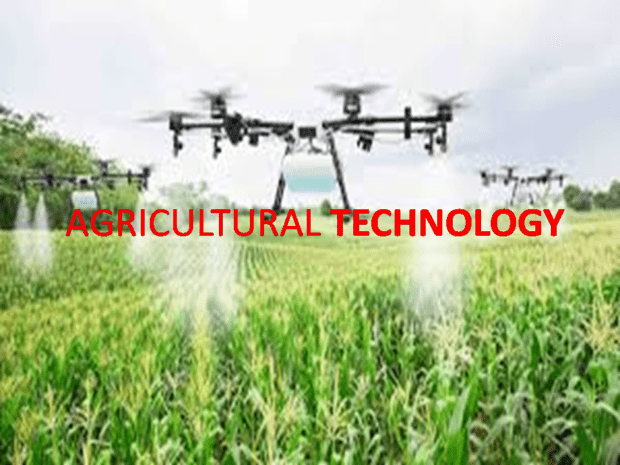
DRONE Technology is a tool to increasing yield cultivation, minimizing resources and improving agricultural cultivation by optimizing resources hence maximizing the benefits. drone can improve the irrigation, production, ripening or pests, health etc.https://atomdrones.com/
Remotes Sensing
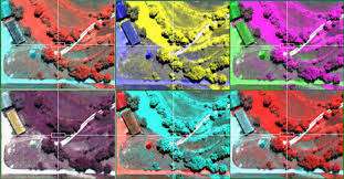
The Advancement of theses researches in the agricultural sector has led to the evolution and use of multispectral photogrammetry technology, which identifies the different stages of production such as fruit set, version or ripening by analyzing the generated images . Multispectral photogrammetry https://www.atomaviation.com/gis-and-remote-sensing/ captures information using on-board multispectral sensors. This technology carries out an exhaustive analysis of the surfaces it analyses, considering factors such as variability, water status, development and quality of the plants, vegetative state, soil moisture and produced biomass.
The Advancement of technologies such as multispectral photogrammetry and remote sensing helps to identify and increase the great potential of terrains in terms of crop homogeneity or adjustment for fertilization. The Multispectral UAV photogrammetry technique provides very useful information that facilitates the decision on the optimal time to harvest, the treatments to be applied in each area of the crop or the need for irrigation based on energy efficiency models. In addition, multispectral photogrammetry can identify emerging pest, vegetation issues, as well as residual areas under control. With the use of multispectral photogrammetry and UAVs we can find not only improvements in the agriculture but also in industries related to security, professional emergencies or business environment. One of these improvements is the implementation of unmanned vehicles in real interventions or their integration in industrial processes that can minimize personal risks, increase response capabilities or lower costs, among other benefits
In this way, it is interesting to notice the role of UAVs in the agricultural sector with respect to different technologies that can be utilized with multispectral photogrammetry as shown in Table 1.
| Source | spatial data | field of view | Usability | Payload | |
|---|---|---|---|---|---|
| UAV | 0.5–10cm | 50–500m | Very good/easy | Can be limited | Very low |
| Helicopter | 5–50 cm | 0.2–2km | Pilot mandatory | Almost unlimited | medium |
| Airborne | 0.1–2m | 0.5–5km | Pilot mandatory | unlimited | high |
| Satellite | 1–25m | 10–50km | – | – | Very high, particularly for high-res stereo imagery |
Normalized Difference Vegetation Index (NDVI)
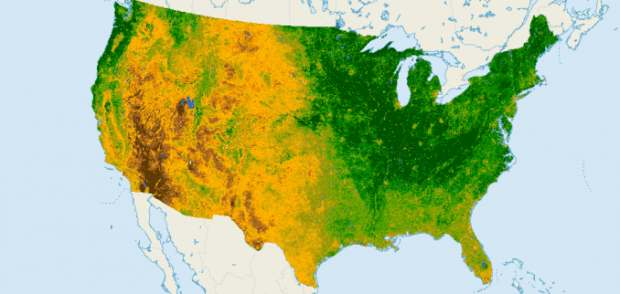
The Normalized Difference Vegetation Index (NDVI) is used to estimate the quantity, quality and development of vegetation based on different measures, through remote sensing.https://gisgeography.com/ndvi-normalized-difference-vegetation-index/
Near-Infrared Spectroscopy (NIRS)
Near-Infrared Spectroscopy (NIRs) can be defined as an overtone absorption or combinations of vibrational bands that typically occur in the wavelength region of 780–3000 ηm.
Digital Elevation Model (DEM)
A Digital Elevation Model (DEM) is a numerical data structure which represents the spatial distribution of a quantitative variable. DEM is a particular case because it is a variable represented by the terrain in relation to a specific reference system, but in the scientific literature there are different models for the same process: Digital Elevation Model (DEM), Digital Terrain Model (DTM) and Digital Surface Model (DSM).
Benefits of Multi-spectral camera with Drone Technology:
- Identify pests, disease and weeds. Optimize pesticide usage and crop sprays through early detection.
- Provide data on soil fertility and refine fertilization by detecting nutrient deficiencies. Help with land management and whether to take agriculture land in or out of production or rotate crops etc.
- Count plants and determine population or spacing issues.
- Estimate crop yield.
- Measure irrigation. Control crop irrigation by identifying areas where water stress is suspected. Then, make improvement to land areas such as install drainage systems and waterways based on the multispectral data.
- View damage to crops from farm machinery and make necessary repairs or replace problematic machinery.
- Survey fencing and farm buildings.
- Monitor livestock. Now, drones with thermal cameras can be used to locate livestock at night time along with plenty of other terrific uses.


