3D Mapping Through Drones
3D Mapping Through Drones
To sustain our overburdened city infrastructure, extensive planning must be in place to allow for robust Transport management, Water, Sewer and Gas Pipelining management, parking management.
Drone based analytics in combination with legacy GIS approaches have the unique advantage of cost effective and accurate data. All this in addition to accessible visualisation and spatial analysis, That form an important basis for urban infrastructure planning.
Conventional surveying methods take around 8–10 months to cover the entire area. It requires more manpower to work on the field as well as off the field in planning and analysis.
Surveying techniques used in infrastructure construction have evolved painfully slowly. Terrestrial surveying has dominated the industry with surveyors generally using total stations or Real Time Kinematic (RTK) Global Navigation Satellite Systems (GNSS) systems. However, newer technology such as Unmanned Aerial Vehicles (UAVs) https://atomdrones.com/ is creating interest.https://www.atomaviation.com/ by using drone analytics, the timeline can reduced to a few weeks. Total manpower required also shrinks in compared to manual ground surveys. In effect, the operational costs reduce drastically. Moreover, there were also significant benefits of using UAV technology from the perspective of workplace health and safety, project management
Drone based GIS https://www.esri.com/en-us/what-is-gis/overview Urban (Planning is highly accurate, dynamic, and interactive map of the area that provides digitised information about the land and can be used for all urban development and planning eventually.
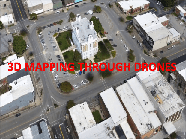
Drone Surveyed Orthomosaic Image
Elevation Model:- High density point clouds all generated from UAV data
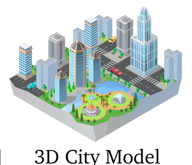
3D Modelling:- it allows measurement in all 3- dimensions.
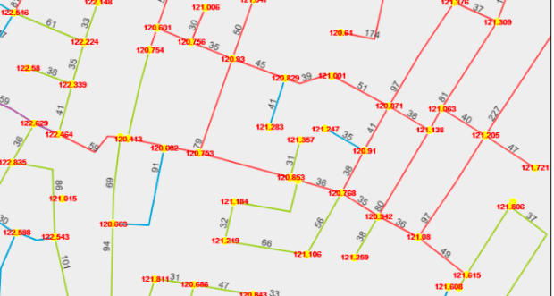
Digitization after 3D MAPPING THROUGH DRONES:- Converts Raster data in digital.
Best Software’s for Topographic Mapping:-
- Pix4d Mapper:https://www.pix4d.com/product/pix4dmapper-photogrammetry-software
- Agisoft Metashape:https://www.agisoft.com/


