
DRONE SURVEY
ROADWAYS
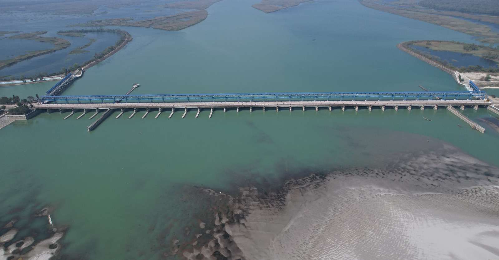
The integration of drone survey technology in the roadways industry has instigated a new dawn in infrastructure planning, construction, and maintenance. Atom Aviation, a leading provider in this sector, has been at the forefront of leveraging this technology to deliver comprehensive and accurate data for various road projects, leading to efficient planning and reduced costs.